Description
|
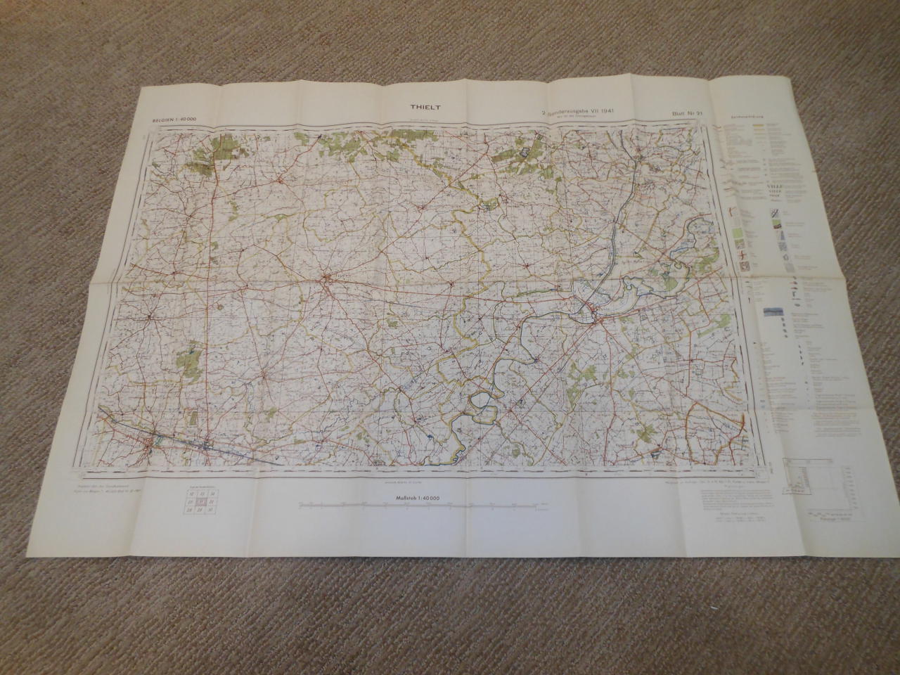
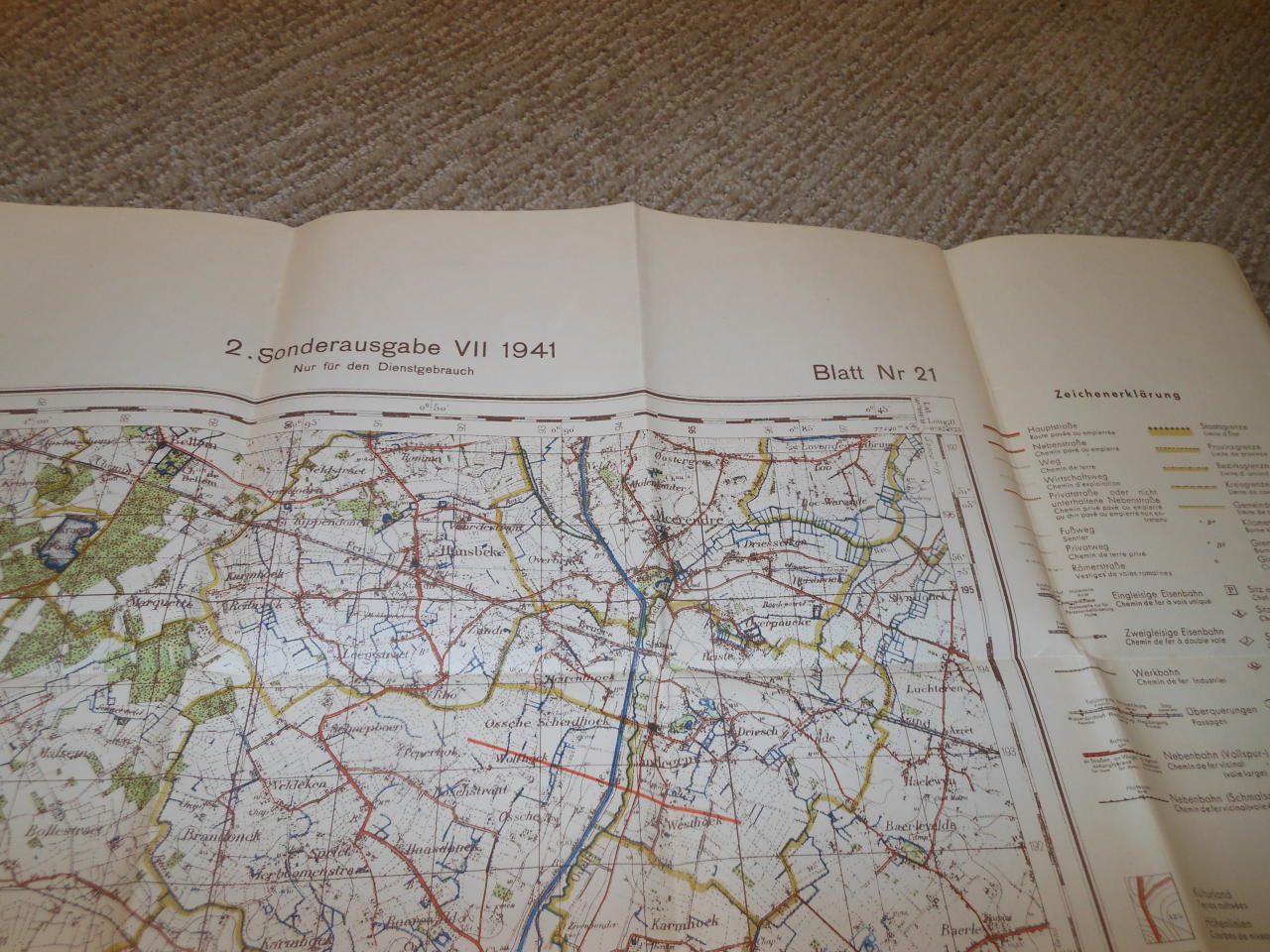
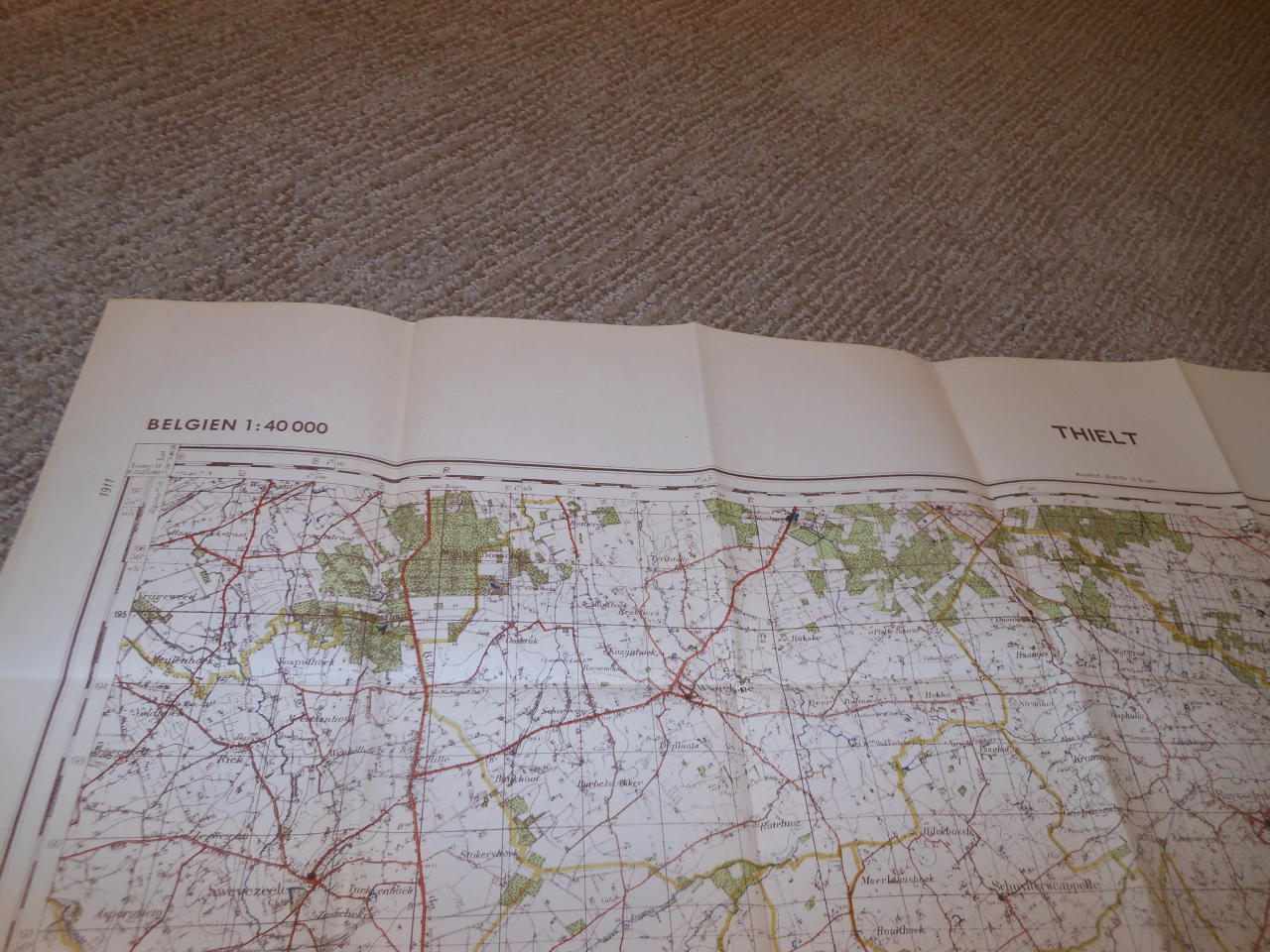
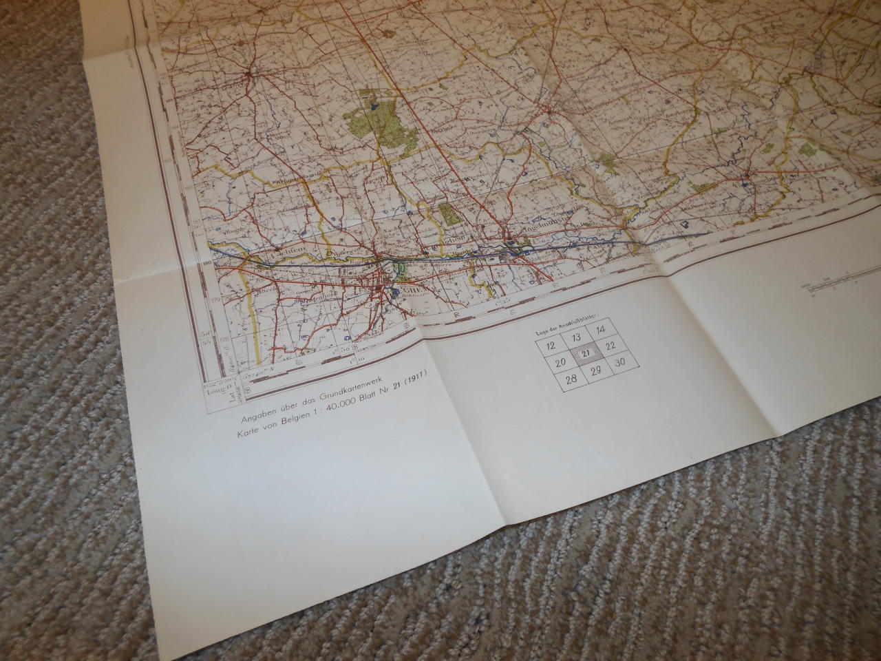
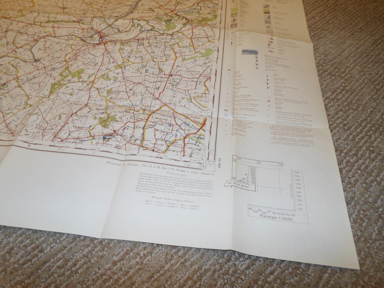
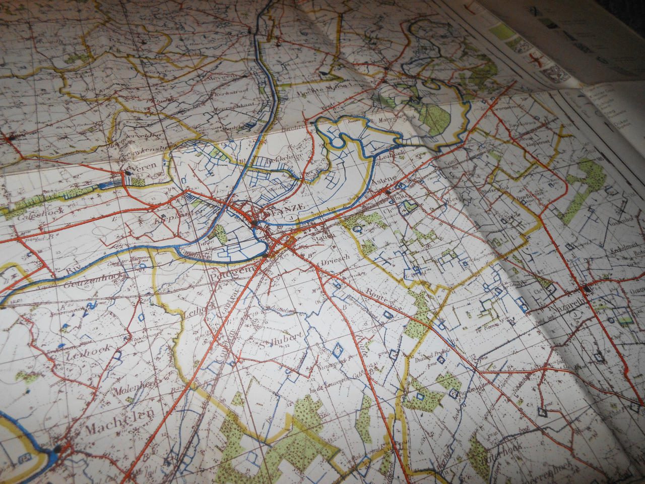
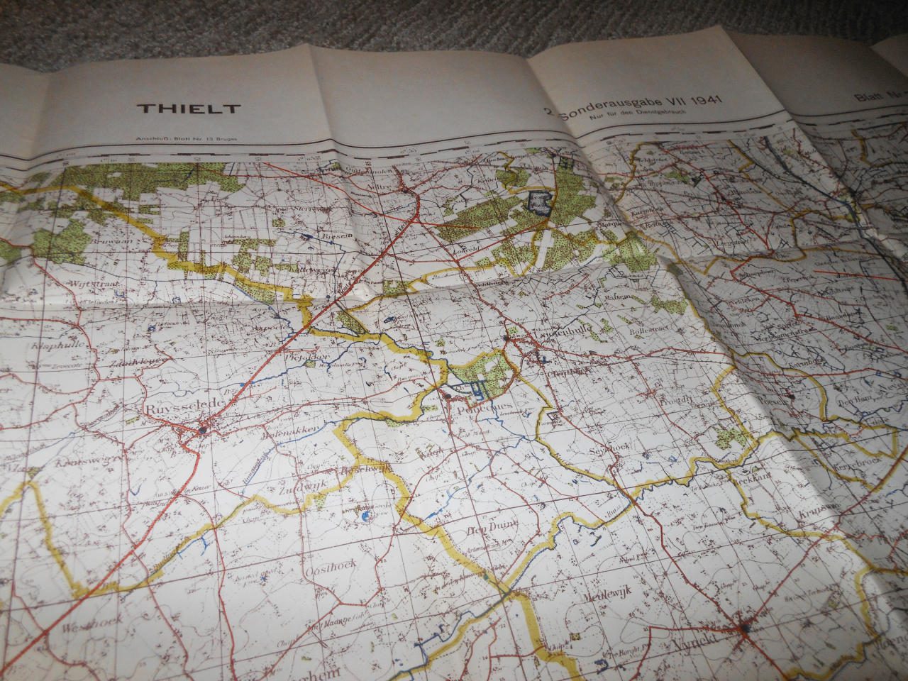
Made of heavy paper, this Navigational Map is in SUPERB condition for its age! Recently found in a Belgium, single-sided, it measures approx. 27″ x 38″ in size, and shows various locations of lakes, seas, towns, villages, cities, and elevations. Also features longitude & latitude degree markings. Some slight marks and wear due to the age, but nothing that detracts. Being a 1:40000 scale, it is HIGHLY detailed, right down to individual houses! Produced in 1941 by the General Stab. der Heer, it is one of the largest and most detailed maps I have seen! Used until the end of the war, it would make a FANTASTIC addition to any collection, display, or simply as a conversation piece! |
