Description
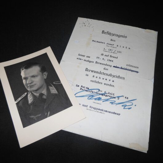
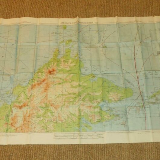
You are bidding on a SUPERB WW2 1:1000000 German Luftwaffe Fliegerkarte (Pilot Map) as used by both Fighter Pilots and Bomber crews for navigation. This map is titled “Mittelblatt”, and covers all of Germany. Originating from the estate of Oberfeldwebel Josef Klein, it measures a LARGE 41″ x 49″ (104cm x 124cm) size!
This map allowed the pilot to properly calculate his flight path.
Made of heavy laminated paper, this map is in VERY NICE used condition. It measures a approx. 3.5 feet x 4 feet in size, and covers all of the Germany.. Also includes parts of Poland, Hungary, Sweden, Denmark, France, Switzerland, and Austria. It depicts various locations of lakes, seas, towns, villages, cities, railways, and elevations. Also features longitude and latitude degree markings. There are some slight tears (see photos), and wear in some areas due to use and age. A RARE and FANTASTIC addition to any collection, display, or simply as a conversation piece!
