Description
|
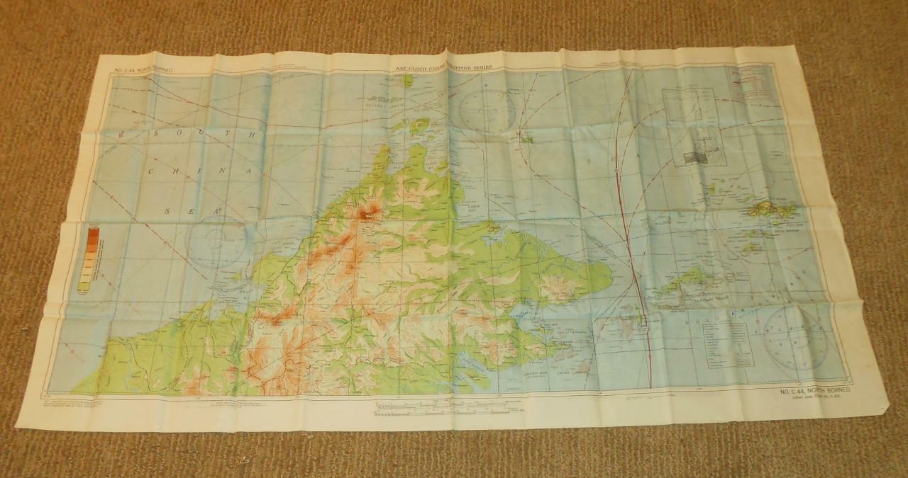
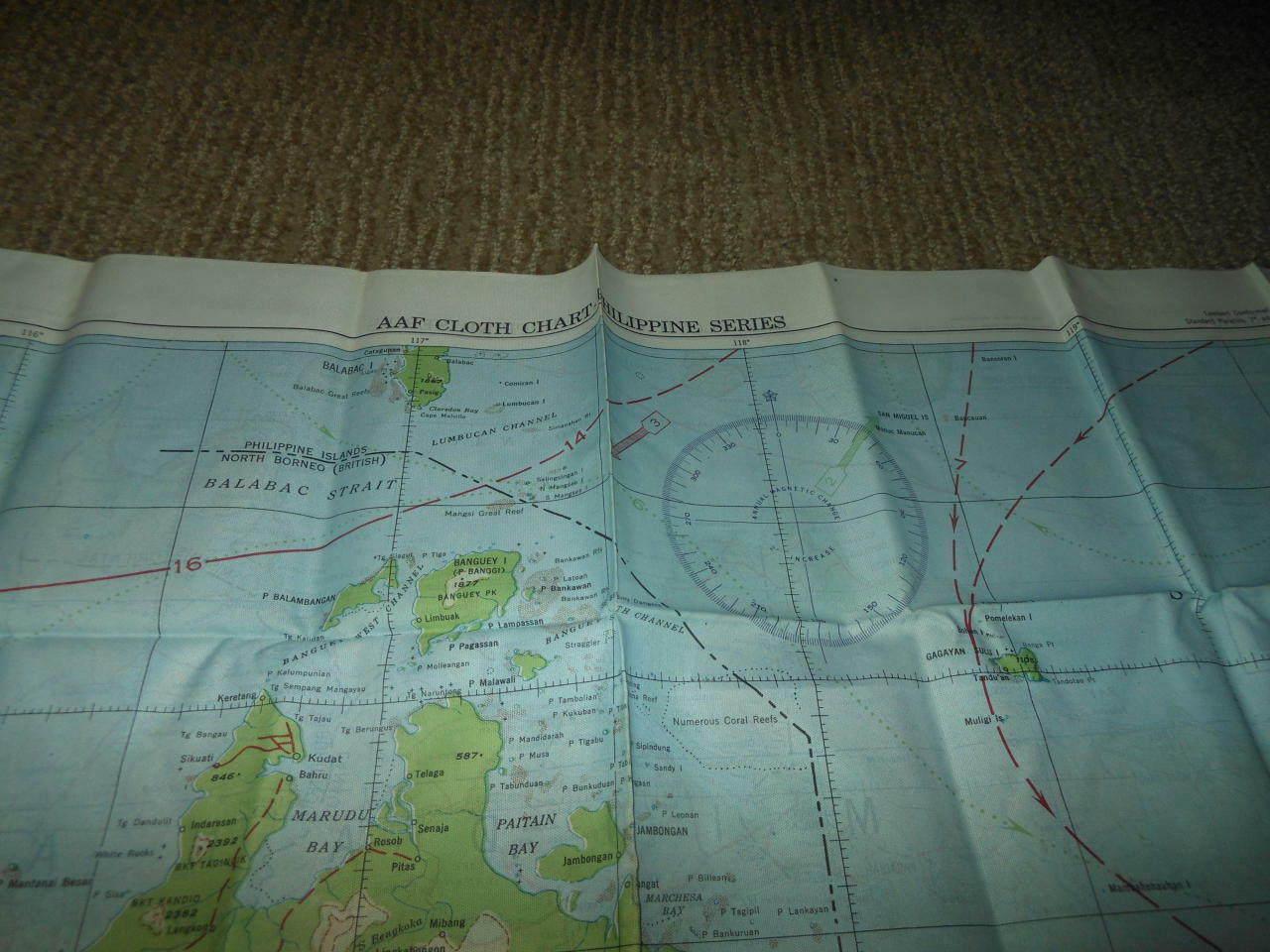
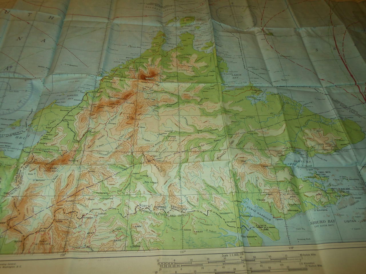
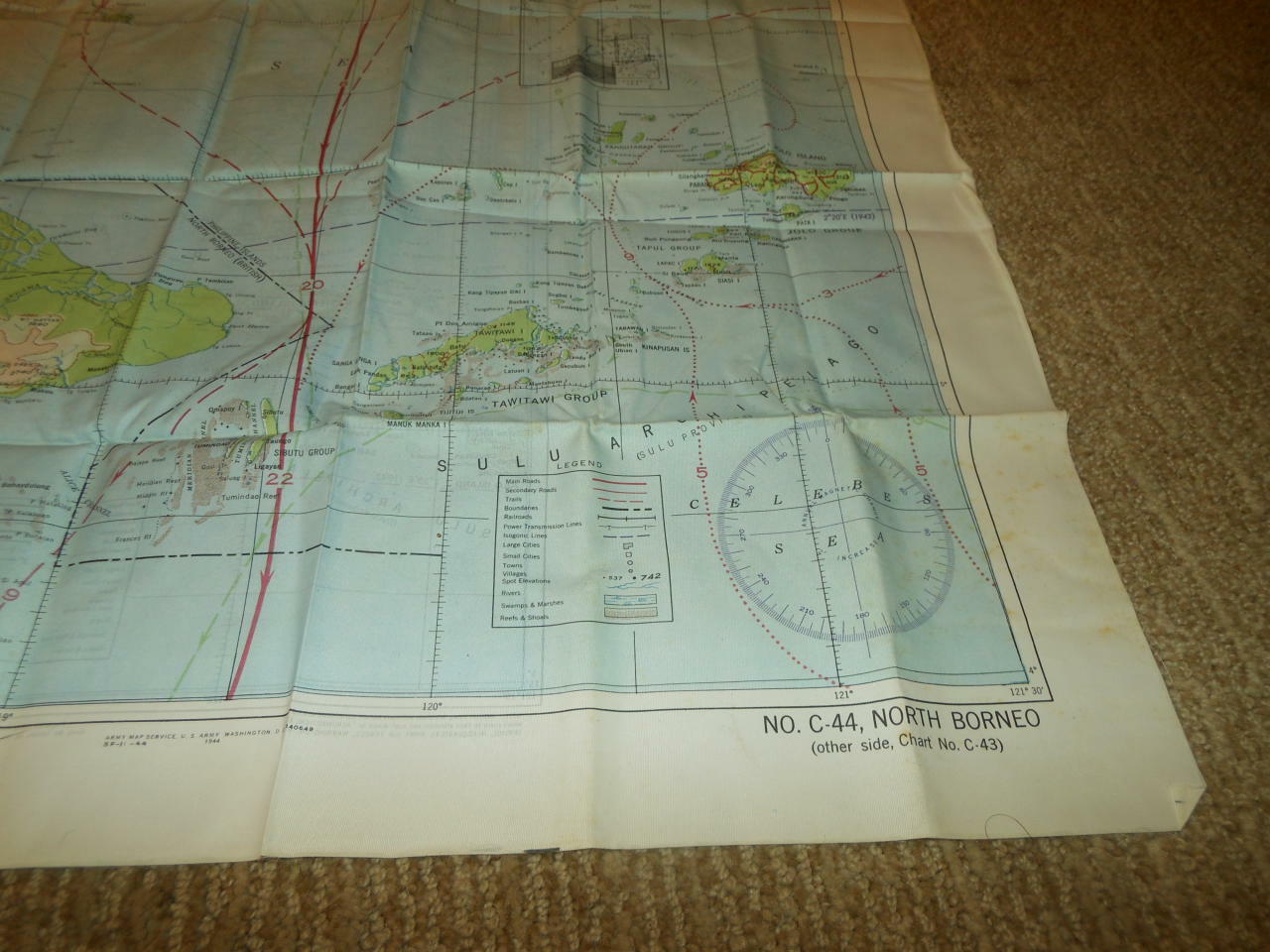
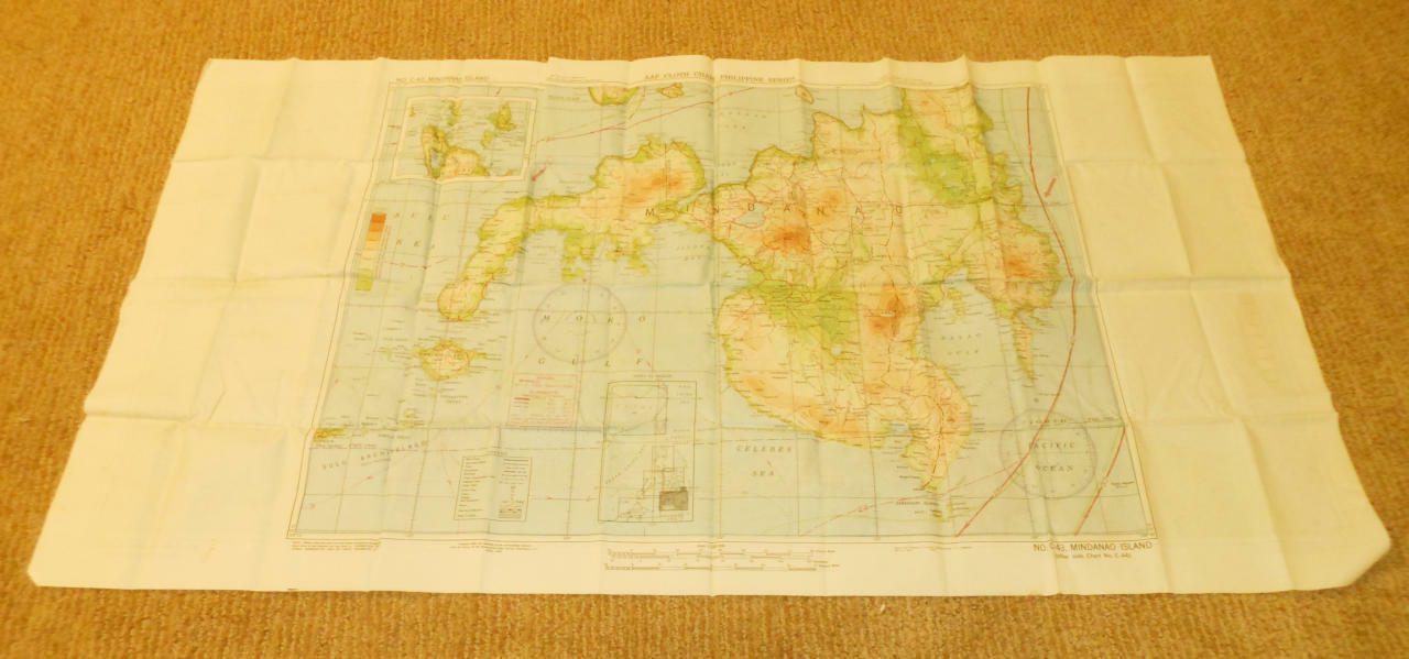
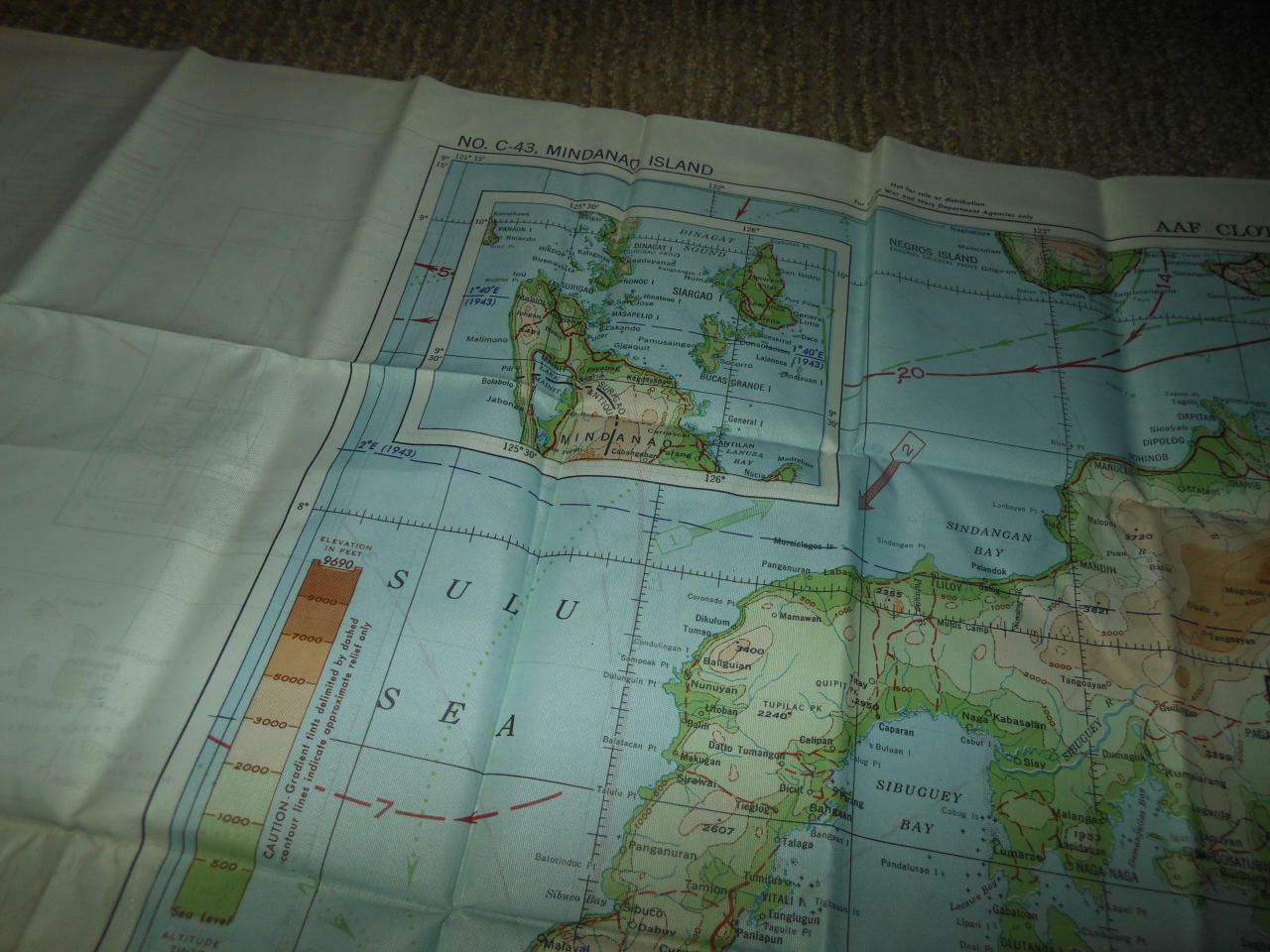
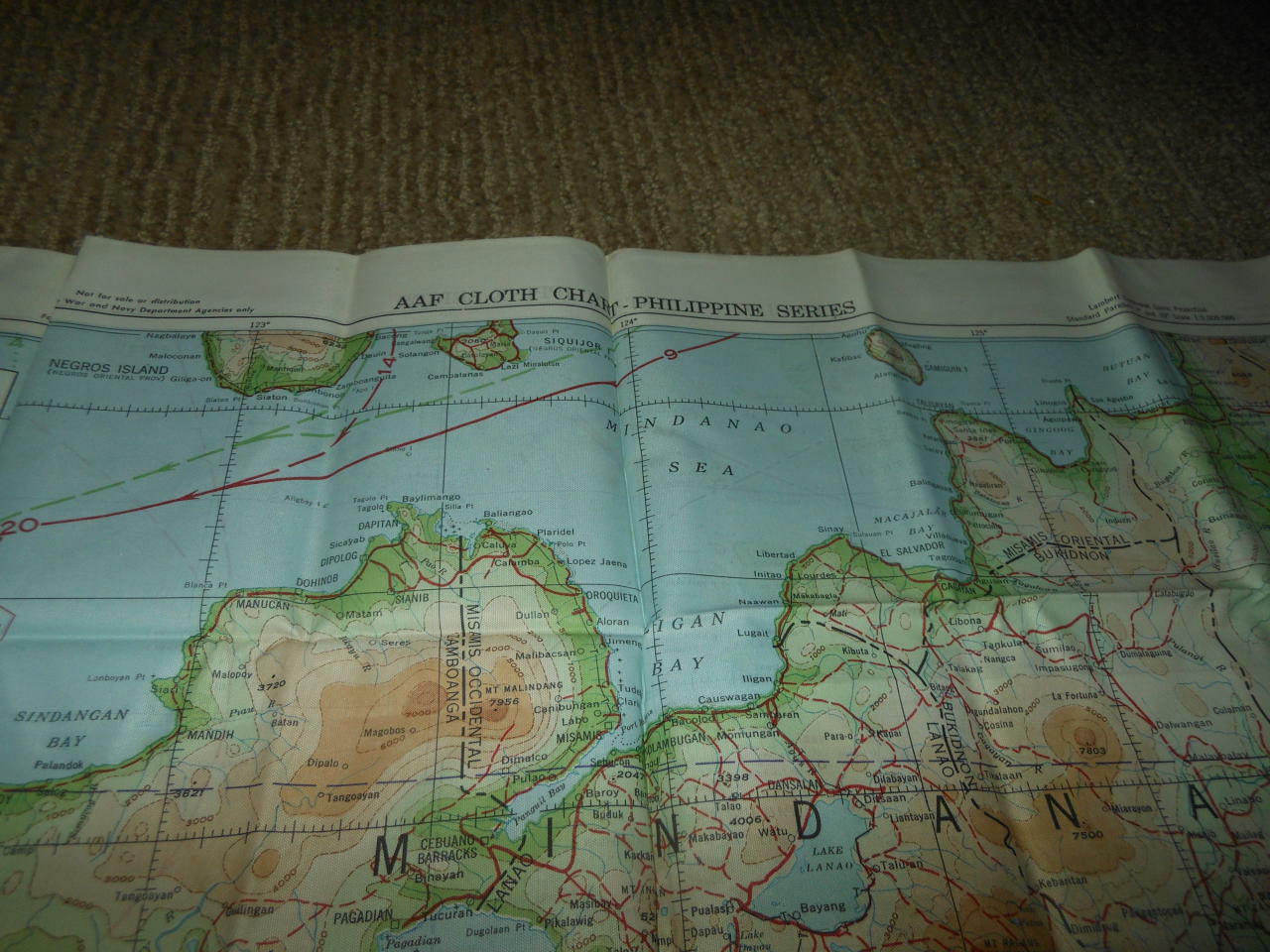
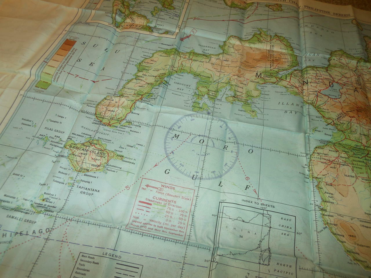
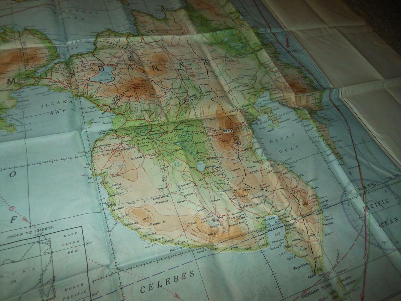
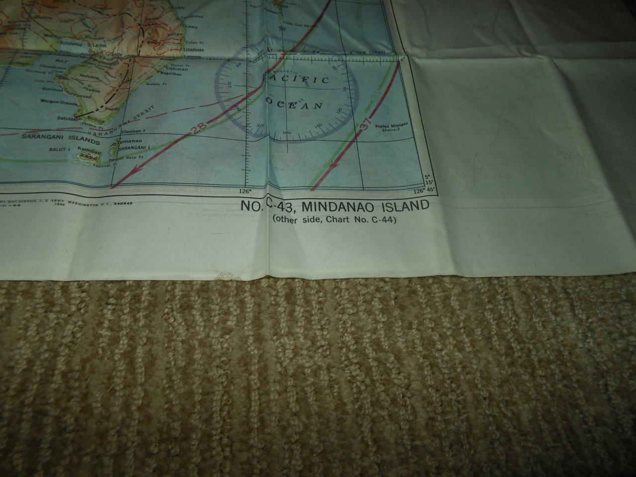
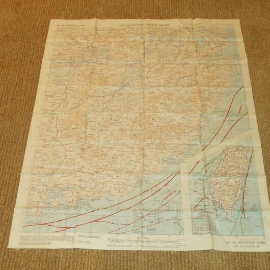
During World War II, airmen were provided with cloth “Escape and Evasion” maps for use if shot down behind enemy lines. In the Pacific theater, crews flying over vast bodies of open water carried ocean current and prevailing wind “drift” maps if isolated on a life raft. Here, green lines represent the direction of currents from May through September; red lines, from November through March. Initially made of hard-to-obtain silk, the American military turned to DuPont’s synthetic-fiber fabric, rayon. Rayon maps were easily hidden, could endure harsh weather and combat conditions, would not disintegrate in water, and could be used quietly. However, applying traditional paper-printing techniques to cloth posed problems. Thus, the Army turned to the board-game industry for assistance, who typically printed game boards on linen, a process highly transferable to military needs. By the end of the war, more than 3.5 million maps were printed. |

Powered by SixBit’s eCommerce Solution
